East Buffalo Peak

Date: 8/18/2012
Distance: 7 miles
Time: 5 hours
Weather: cool, hazy

I drove up to Park County and finally hiked up a mountain which I have looked at from the car for years. The Buffalo Peaks are in the Buffalo Peak Wilderness, which is part of the San Isabel and Pike National Forests. There is no trail to the Buffalo Peak summits, so route-finding was a challenge. It was a hazy day due to smoke from wildfires in Washington state. The haze obscured what would have been fantastic views. I read that there is a-lot of wildlife in this area, including a large herd of bighorn sheep. I saw one deer and some bear scat. I noticed that a few leaves on the Aspen are starting to turn! I would like to come back here again sometime when it is not so hazy to enjoy better views, and to make a loop including West Buffalo.

First few yellow Aspen leaves of the year:


View Colorado Chris Hikes in a larger map

Mt. Democrat, Mt. Lincoln, and Mt. Bross

Date: 7/19/2012
Who: Zach and myself
Distance: about 7 miles
Time: 6 hours
Weather: sunny, partly cloudy, warm

The day after hiking the Manitou Incline, Zach and I drove up to Park County to hike some fourteeners. Lois let us borrow her truck to get up there, since my Highlander was in the shop. Thanks, Lois! We parked at the Kite Lake parking lot ($3 fee to park). We started hiking at about 6:45 AM, with clear skies, first ascending Mt. Democrat, then Mt. Lincoln, then Mt. Bross. It was a very pleasant day for hiking at high altitude. The temperature was relatively cool, and remarkably there was no wind to speak of all day! Clouds started to form during the hike between Democrat and Lincoln. The clouds did not look too threatening, but we increased our pace in order to get off the summit of Mt. Bross before Noon.

The summits of Mt. Democrat and Mt. Lincoln were pretty crowded with other hikers lingering for photos and rest. Everyone was friendly and polite, but it is still kind of annoying to be on the summit with so many people. The trail itself was less crowded because everyone tends to spread out and walk at their own pace. This was a Thursday; I imagine that a weekend would find these summits even more crowded. I was excited to find some new (new for me) wildflowers on this hike: Queen’s Crown and Alpine Spring Beauty.

It was just great to spend the day with and share this experience with Zach! Afterwards, we had lunch at Alma’s Only Bar which serves up a pretty good burger.


View Colorado Chris Hikes in a larger map

Windy Ridge Road

Date: 1/28/2012
Who: Trapper, Sammy and myself
Length: 3 miles (1.5 in + 1.5 back)
Time: 1.7 hours
Weather: 20 degrees, sunny

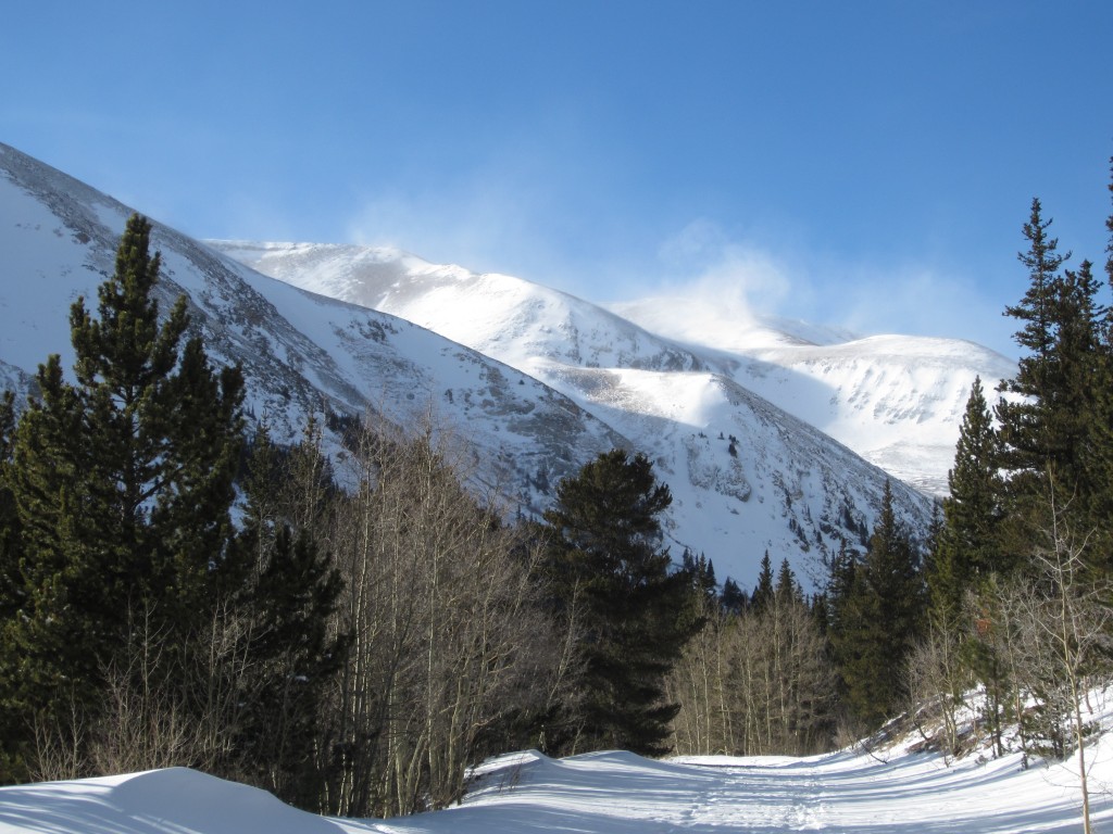
This was a short hike with Sammy and my parents-in-law’s dog, Trapper. Windy Ridge Road is near Alma, Colorado. It goes from the Buckskin Gulch up to Windy Ridge, where the old Bristlecone Pines are located. I was hoping to make it up to Bristlecones. But, due to a-lot of snow on the road we had to park too far away and did not have enough time to make it all the way up there. I think the dogs had a good time, and it was good to get a little hiking in after a stressful week.


View Colorado Chris Hikes in a larger map