Date: 4/22/2012
Who: Sammy and myself
Length: about 14 miles
Time: 8 hours
Weather: 50-65 degrees, clear, sunny
Lesson learned: Do not trust the battery gauge on the digital camera. It showed a full charge, so I didn’t charge it overnight. Then, the battery ran out in the first 5 minutes of use today! So, I have no video. The battery only had enough juice for a few photos.
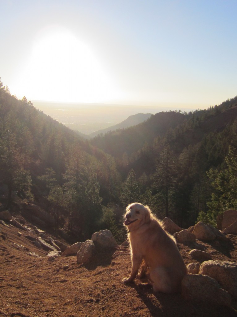
Despite the camera problem, it was a big hike today. From the four-way parking lot in N. Cheyenne Canon Park, we started up Gold Camp Road and Seven Bridges trail to Jones Camp; then, up trail 668 to Nelson Camp; then, continuing on 668 and 701 to Frostys Park (no gunshots today); then, up the west (back) slope of Mount Rosa on trail 672 (Nelsons trail) to the summit of Mount Rosa (11,499′). For the descent, we took trail 672 down the east (front) slope of Mount Rosa; then trail 624 through Buffalo Canyon, past St. Mary’s Falls, and back to Gold Camp Road and the 4-way parking lot. Whew!
Trails 668 and 701 from Jones Camp to Nelson Camp to Frostys Park are degraded by the use of motorcycles. (It is a legal multi-use trail.) There is a great deal of loose gravel and erosion. If and when I hike this route in the future, I will be sure to start early (as I did today) in order to avoid dirt-bikes. Today, we started at 6:00 AM, and did not encounter a single person until we were on our way down from Rosa.
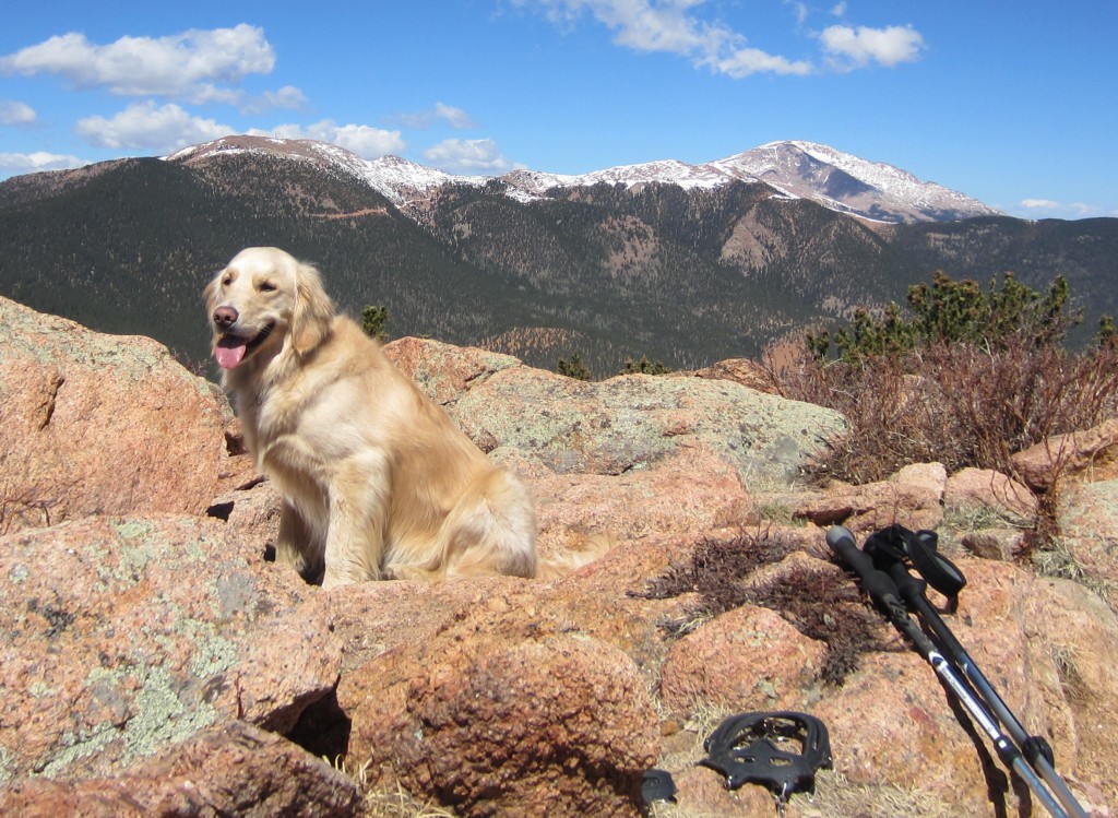
It took us about 4 hours to reach the summit by our chosen route. I wore the microspikes for the last 400′ of elevation gain, due to the amount of snow still on the north-facing slopes. It seemed odd to have snow-gear on my feet, while wearing only a t-shirt on my upper body. I guess that’s Colorado for ya!
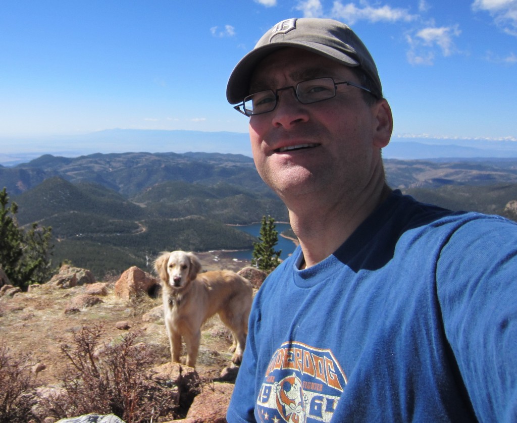
The summit of Mount Rosa was the highlight, for sure. At the summit, it was warm, dry and sunny, with no wind–perfect conditions for lingering and enjoying the great view. We could see south all the way to the Spanish Peaks (near Walsenburg) and west to the Collegiate Peaks (near Salida and Buena Vista). The Sangre de Christo range (near Westcliffe) was like a postcard with its snowy peaks. Almagre Mountain and Pikes Peak loomed large to the northwest. Cheyenne Mountain and Colorado Springs appeared down below to the east.
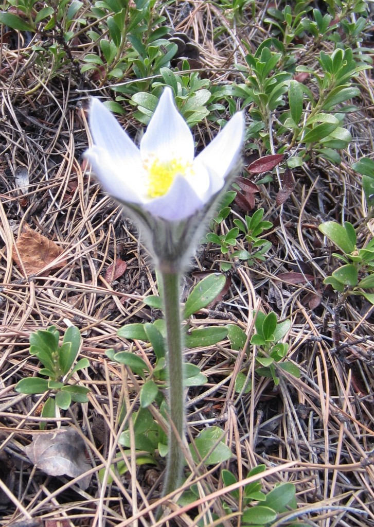
On the way down, we walked through Buffalo Canyon. I bet the canyon is named after the great amount of buffalo grass that grows there (just a guess). Before St. Mary’s Falls, we met only two groups of hikers the entire morning. After St. Mary’s Falls, we met with hikers, runners and mountain bikers every 5 minutes or so. I also saw my first wildflower of the year, a Pasqueflower. We got back to the car just as rainclouds started to roll in over Cheyenne Canyon. What good timing!
This hike followed the RED line to Nelson Camp (red marker), then the BLUE line to Frostys Park, Mount Rosa, St. Mary’s Falls, and back to the 4-way:
View Colorado Chris Hikes in a larger map


Sounds like a big hike! Good strategic use of the camera= the photos are great, with Sammy…and the gear in the foreground with mountain beauty behind=AWESOME shot. (By the way, hate the battery indicators that nose dive like that, my cell phone does it!)
Oh ya and love the wildflower photo!!
Just a warning to readers, there’s an intersection where you have the option to remain on 672 or turn to 673. I thought I should just remain on trail 672 to get to the summit of Mount Rosa, but then I found myself going downhill for a long time. I turned back and went on 673 instead and that took me to the summit.