Date: 5/26/2012
Who: Sammy and myself
Length: 12 miles (6 out + 6 back)
Time: 6.7 hours
Weather: 50-80 degrees, sunny, hazy
After research and hemming and hawing for several weeks, I purchased a new backpack–a Osprey Stratos 34 in blue. Plus, a Platypus 3-liter hydration system to go with it. Osprey is a Colorado-based company.
Today was my first opportunity to use the new pack, and it worked out great. I like having a hydration system with a tube that allows me to drink without taking off my pack to access water bottles. The pack has a webbing system that creates an airspace between the pack and my back. It has other features too, like a pair of loops for holding hiking poles, integrated rain cover, and additional pockets. I like it!
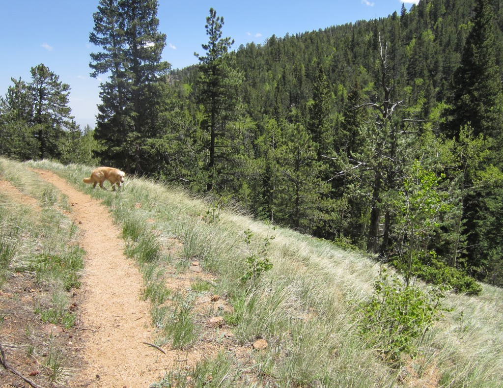
Buffalo Grass in Buffalo Canyon

This hike followed the BLUE line to St. Mary’s Falls, then to Mt. Rosa, and back:
View Colorado Chris Hikes in a larger map

Nice backpack,Chris. Glad you found one you liked with the built-in hydration system.
Got a crazy inquiry: how do you know when you are on the peak of a mountain? Is there a marker? This question from a non hiker….a kayaker!
Sometimes it is not easy to tell you are at the top, especially when there are a lot of trees. Some but not all mountains have a summit log, which is a notebook in a protective container like a pipe where you can write your name and date. If I am not sure, I run around all the highest spots I see so that I can be confident that I hit the top!
Seemed like a pretty day. Like the backpack, I’ve never used a hydration system…any issues with it warming the water faster than your bottles?
The hydration bladder is inside the pack, so it stays out of the sun and cool. The drinking tube goes over my shoulder and clips to my shoulder strap, and the sun tends to warm up the water in the tube. So, the first ounce or so of a drink can be warm and then it is cool.
Hi Chris,
I read your description of your Mt. Rosa hike from St. Mary’s Falls. I am considering doing that, but returning through Frosty Park and Nelson’s trail. About how long would that be? Would it be easy to find?
Thanks!
Nicki Rosa
Hi Nicki,
We did that loop (in the opposite direction) and described it here:
http://www.coloradochris.com/?p=459
As I recall, the route-finding is a little tricky between Frosty Park and Nelson Camp. There’s more than one trail heading off in different directions. Also fyi, the trails in that area are deeply rutted from erosion and motorcycles. The Pikes Peak Atlas map is a good resource.
http://pikes-peak-atlas.com/
–Chris